ENGINEERING AND ENVIRONMENTAL

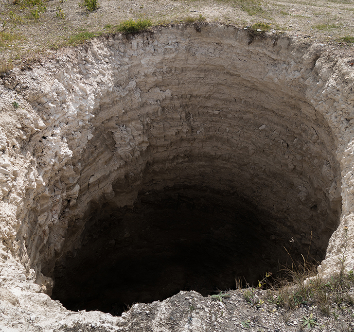
The analysis of high-resolution geophysical data provides essential and accurate information for the development or adjustment of engineering and environmental projects. Details on structural geology, soil thickness, water table, presence of cavities, bedrock top, and competence of rocks are relevant. They can guide geomechanical drilling campaigns, the best position for exploration ramps, underground galleries, ventilation tunnels, dams, and dry tailings piles, and provide a database for environmental remediation or compliance with government agencies’ requirements in the mining industry.

Geophysical Analysis Looking for Buried Objects and Pipelines
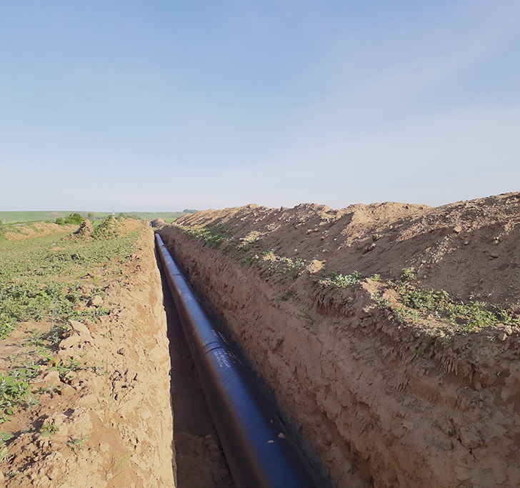
Finding buried objects or pipelines may not be easy, especially when records of the location of these objects (e.g., historical maps, photographs) have been lost. For shallow and high-resolution investigations, numerous geophysical exploration methods can be employed alone or in combination to increase assertiveness. The ground penetrating radar (GPR), electric, electromagnetic and magnetic data can be used along the same grid over the focus area, allowing a joint interpretation of the results, as different datasets of the exact location can be compared and contrasted with building the best overall geophysical model of the features detected. We employ highly trained and detail-focussed data interpreters to ensure high quality in our interpretation delivered to clients. This is especially important when dealing with sites of highly noisy areas such as open and underground mines.
Geophysical Pipelines

Survey Design and Geophysical Analysis for Mining Projects: tailings dam, landfill, underground ramp & tunnels

Mining projects demand significant financial and time investments to be implemented. A detailed understanding of the bedrock is critical to avoid increased costs and considerable delays. Its properties are essential for infrastructure projects, allowing safe and stable construction of ore processing and power plants, crushing, fuel tanks, truck shops, warehouses, buildings, roads, tunnels, ventilation shafts, tailings dams, and others. Geophysical methods offer non-intrusive techniques to detect anomalous zones that may represent geological-geotechnical features of interest within mining projects. As objectives can vary greatly, a solution utilizing multiple geophysical techniques is required to get an overview of the problem.

Hydrogeological Studies

Hydrogeological studies help us characterize groundwater aquifers in bedrock formations, recharge–discharge relationship with water table, and water storage capacities.

With the concentration of population in both large cities and metropolitan regions, human activities increase the risks of contamination of aquifers.

In addition, it is common to use groundwater for industrial, urban, and agricultural use in several regions. Without control, water pumping is prejudicial when lowering the water table can be more significant than recharge.

Geophysical electrical methods are powerful tools for mapping groundwater pathways. These pathways can be beneficial when acting as water transfer routes or malefic when carrying pollutants from the surface into the aquifer. Our team can support all steps of a geophysical survey applying to hydrogeological studies, from planning, survey design, acquisition, processing, and interpretation.